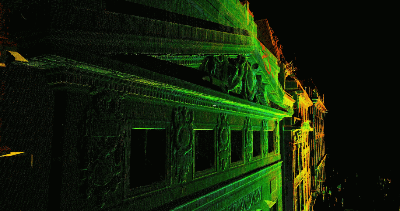
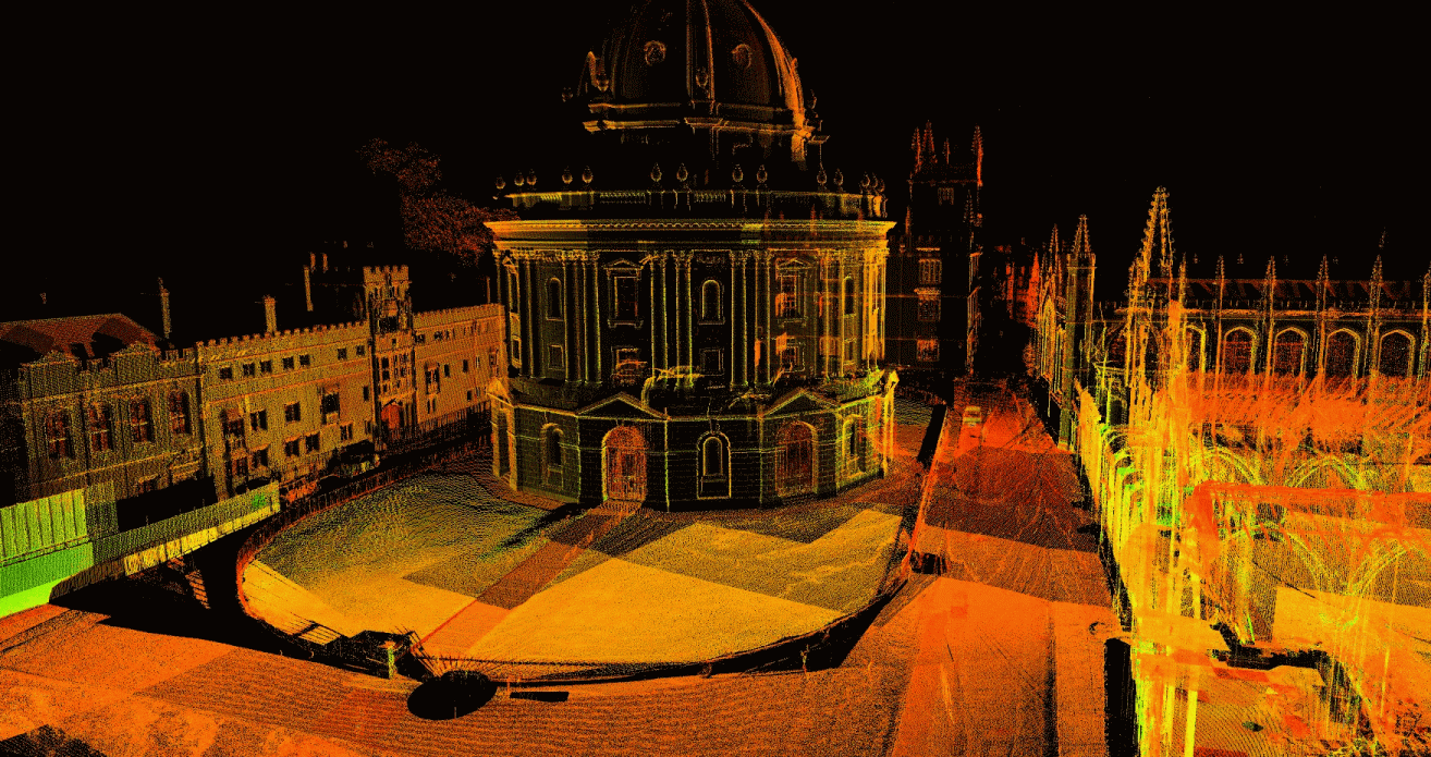
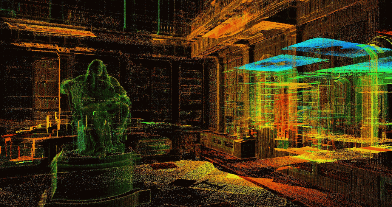
Co-ordinate information is not the only data captured. Light has its own properties meaning different surfaces absorb different wavelengths, as do colours – even in total darkness. These subtle variances are carried back to the sensor in the returning pulse of light and recorded.
Despite the myriad of combinations of data available from a single pointcloud, we essentially provide these in 2 flavours – Intensity or Coloured.
Intensity is the raw resulting point cloud which is passed through a visualisation filter to show the different returning constituents of the pulse. From this we can derive the subtle changes in surface colours, materials or slight changes in plane. It is ideal for constructing geometric models, CAD drawings and meshes.
Coloured provides a more comforting and visually realistic representation of the scan field; a beautifully rendered 3D photograph. Although visually stunning and as suitable for all uses that an Intensity cloud is, the nuances of the raw intensity scan data have been false coloured by the overlay of photographic data. This extra data can make the clouds cumbersome and often there is additional time required to capture the data due to variations in light conditions.
Pointclouds can be produced in almost any data format to suit any viewer, CAD or visualisation package.